
Routes That Exist on Maps but Not in Real Life
On paper, the world looks connected by neat lines and logical pathways. Highways cross borders, roads slice through mountains, and ferry routes glide effortlessly over water. But anyone who has traveled overland long enough knows a secret: some routes exist only on maps.
These phantom routes promise simplicity and speed, yet dissolve when you try to follow them. They are closed borders, washed-out roads, abandoned ferries, or political impossibilities—cartographic optimism colliding with reality.
Looking for accommodations? You will be redirected to Booking.com to check availability and prices. 🏨
Check Hotels & Prices →Why Maps Lie (Without Meaning To)
Maps are abstractions. They simplify the world to help us understand it, but simplification can turn into fiction when conditions change faster than updates.
- Roads marked as “major” may be unpaved or impassable.
- International crossings may exist legally but not practically.
- Infrastructure may have been planned, not completed.
- Nature may have erased what once existed.
Digital maps are especially guilty. Satellite images and routing algorithms often assume continuity where none exists on the ground.
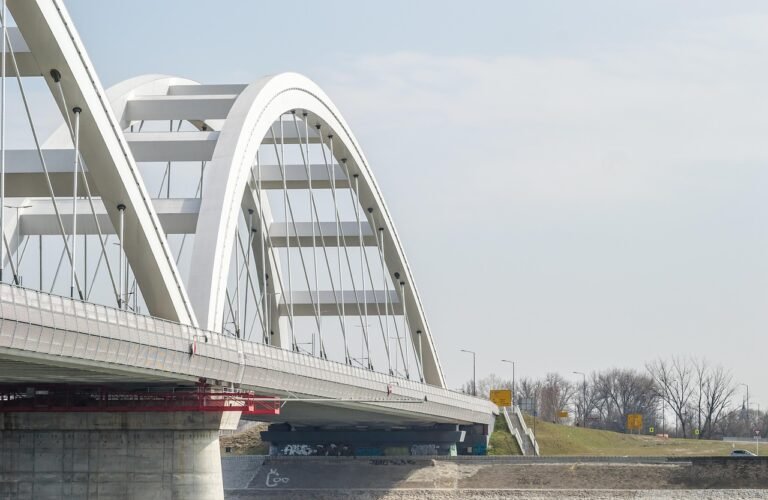
Borders That Erase Roads
One of the most common map illusions appears at international borders. A road clearly runs from one country to another—until it doesn’t.
Political tension, security concerns, or diplomatic breakdowns can turn a mapped crossing into a dead end. Gates remain locked, border posts unmanned, or travelers are simply turned back despite what their navigation app insists.
Reality check: A continuous line on a map does not guarantee a functioning border crossing.
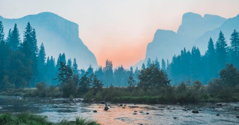
Seasonal Routes Frozen in Time
Some routes exist only during specific months. Mountain passes, desert tracks, and river crossings may be usable for part of the year and completely impossible the rest.
Maps rarely communicate this clearly. A pass marked as open could be buried under snow, submerged by monsoon floods, or closed indefinitely due to landslides.
Infrastructure That Was Never Finished
In many regions, especially remote or developing areas, roads are planned long before they are built. These plans sometimes make it into official maps and never get removed.
Travelers arrive expecting asphalt and find dirt trails that vanish into farmland, forests, or construction sites abandoned years ago.
Ferries That No Longer Run
Ferry routes are another classic example. A line across water looks reassuring, but boats depend on economics, demand, and politics.
A ferry might have stopped operating years earlier, now replaced by rumor, outdated guidebooks, and hopeful map symbols.
How Experienced Travelers Avoid the Trap
- They cross-check routes with recent traveler reports.
- They ask locals instead of trusting navigation apps.
- They plan buffers for detours and delays.
- They assume at least one planned route will fail.
Over time, travelers learn to treat maps as suggestions rather than promises.
What These Routes Teach Us
Phantom routes are frustrating, but they reveal something deeper about travel. The world is not as orderly as it appears from above. Movement depends on politics, weather, money, and human decisions—none of which are fully visible on a screen.
When a route disappears, it forces adaptation. Detours become stories, delays become lessons, and certainty gives way to curiosity.
In that sense, the routes that don’t exist can be as memorable as the ones that do.
© 2026 — Travel Writing Series. All rights reserved.
Want to make your trip unforgettable? You will be redirected to GetYourGuide for top-rated tours, excursions, and experiences. 🌍
Discover Tours & Activities →